Ride the Enchanted Circle Scenic Byway—it lives up to its name


0 min. read
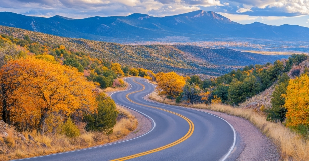
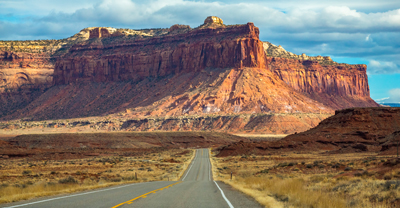
New Mexico is known for many things, like its famous canyons and white sand dunes—earning the nickname “The Land of Enchantment.” As a motorcycle enthusiast, you may first think of the state's riding opportunities. On top of that list? The Enchanted Circle Scenic Byway. This 84-mile loop circles Wheeler Peak, the state's highest point, and takes you through stunning mountains, valleys, mesas, and Carson National Forest.
Enchanted Circle Scenic Byway map
Plan your route and stops using this map of the Enchanted Circle tour.
Weather in Taos, New Mexico
Whether visiting the Enchanted Circle Scenic Byway during its peak season in the fall months to view vibrant foliage, or during the summer to soak up the sunshine, it’s important to dress for the weather when you’re out exploring New Mexico’s stunning landscapes. Please note that this region gets snow and ice in the winter, so it’s best to avoid the route during these months.
Here are the average monthly temperatures in Taos, New Mexico so you can pack accordingly.

Get a free motorcycle insurance quote today.
Motorcycle safety tips
There’s a slight stretch of rougher road conditions between Angel Fire and Valle Escondido on Hwy-64 West. You can expect uneven and cracked pavement. It improves around Shady Brook, where you'll enjoy a smooth ride back to Taos, but it’s important to be prepared for anything.
Keep these safety tips in mind as you ride:
Wear protective gear
Practice defensive driving
Remain aware of potential wildlife as Bob Cat Pass and Eagle Nest area are known for elk
Take caution along narrow mountain roads, watching for steep drop-offs and blind turns—refer to these advanced cornering techniques
Stay hydrated, especially during the summer
Inspect your bike before you ride—review this seasonal maintenance checklist
Carry a first-aid kit and emergency equipment
Consider advanced riding courses to sharpen your skills
Where to explore around the byway
This ride takes approximately three hours to complete, consider planning for additional stops if you have time. The area offers an abundance of natural and historical beauty to discover, including the following recommendations.
Taos Pueblo
Before you begin your journey, or after your return to Taos, check out Taos Pueblo. Located 2.8 miles from Taos, it’s the longest continuously inhabited Native American community in the United States. It’s also the only living community designated as a World Heritage Site by UNESCO and is a national historic landmark, known for The Pueblo—a multistory building made entirely from adobe.
Before visiting, it's essential to read the rules and regulations. Note that The Pueblo may be closed for community events and ceremonies and closes for about ten weeks from late winter to early spring. There’s also an entrance fee of $25 per adult or $22 for those 65 and older.
Wheeler Peak
This peak is the highest point in New Mexico, located northeast of Taos and south of Red River in the Wheeler Peak Wilderness area in the Questa Ranger District of the Carson National Forest. There aren’t fees for hiking or camping here. However, there is a 14-day limit to camp.
To reach the peak from Taos, ride four miles northeast on US-64 before turning right onto NM-150 North toward Taos Ski Valley, approximately 15 miles away. The road will fork; stay left, and you'll reach the Bull-of-the-Woods trailhead. There’s a parking lot approximately 50 yards after the fork.
Questa
Questa is a village along the Enchanted Circle Scenic Byway, approximately 30 minutes north of Taos. Known for its scenic beauty and rich history, you can enjoy everything from historical site viewing to trout fishing and mountaintop lakes. In town, you can stop by the historic St. Anthony de Padua church, characterized by its adobe exterior. While here, you can also pop into one of the family-owned shops or restaurants.
Need affordable insurance?
Traveling from out of state? Unsure what New Mexico’s motorcycle insurance requirements are? Or are you a local and seeking better insurance rates? Regardless of your circumstances, the Dairyland team can help. Before you ride the Enchanted Circle Scenic Byway, get a free quote today!
Resource Center
The general information in this blog is for informational or entertainment purposes only. View our blog disclaimer.


